Why We're Better
Save A Life (SAL) Maps is aimed at solving a pressing problem faced in metropolitan cities, focusing on dealing with heavy traffic congestion for emergency service providers (ESP) to commute faster in the hour of need by assisting users in three different cases.
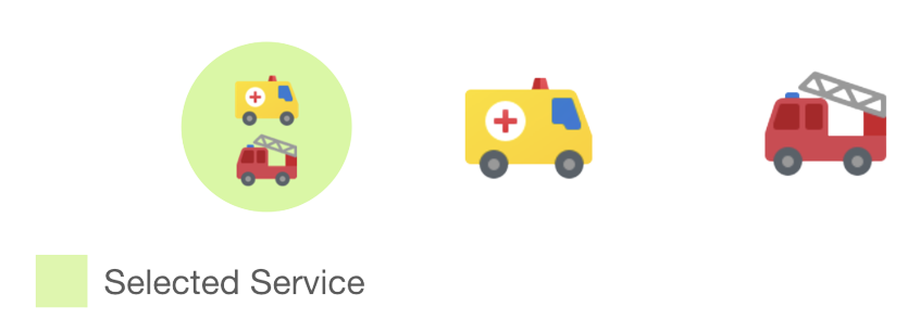
#1 Service Selection
Have the Option to call an Ambulance, Fire Truck or, Both.
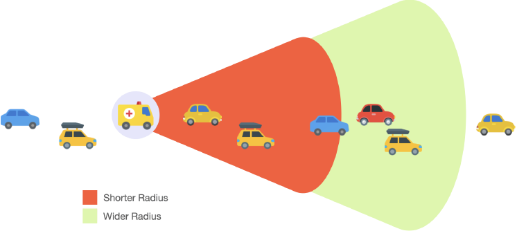
#2 Dynamic Radius
Keeping in mind factors such as Driver Experience and Response Time, SAL Maps maintains a pair of radii for every emergency service en route.
1 - Wider Radius : Informs Vehicles at a variable distance in front of the incoming emergency service in advance and asks them to be ready to move.
2 - Shorter Radius : Informs Vehicles within immediate distance to move to the left.
Vehicles beyond this range will not receive information.
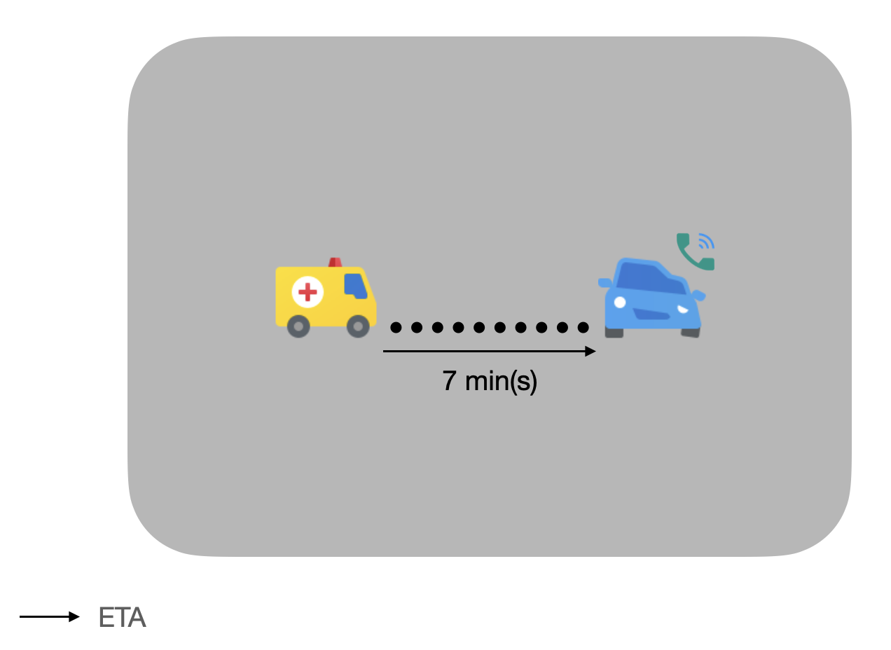
#3 Service Tracking
Provides the User with Updates on the Service's LIVE Location, Contact and Registration Information
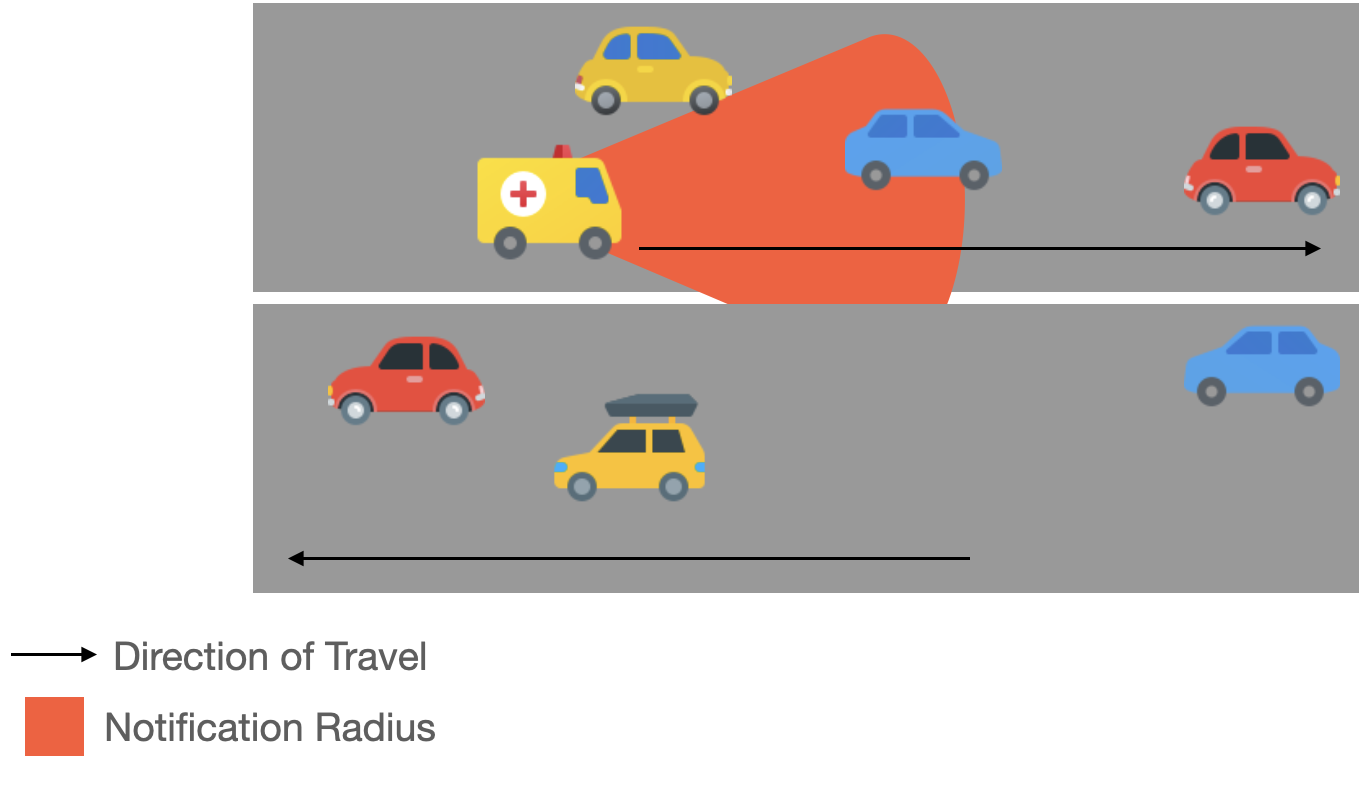
#4 Smart Notifications
In Multi-Laned Roads, notifications are sent only to those vehicles fall within the Dynamic Radius and are moving in the same direction.
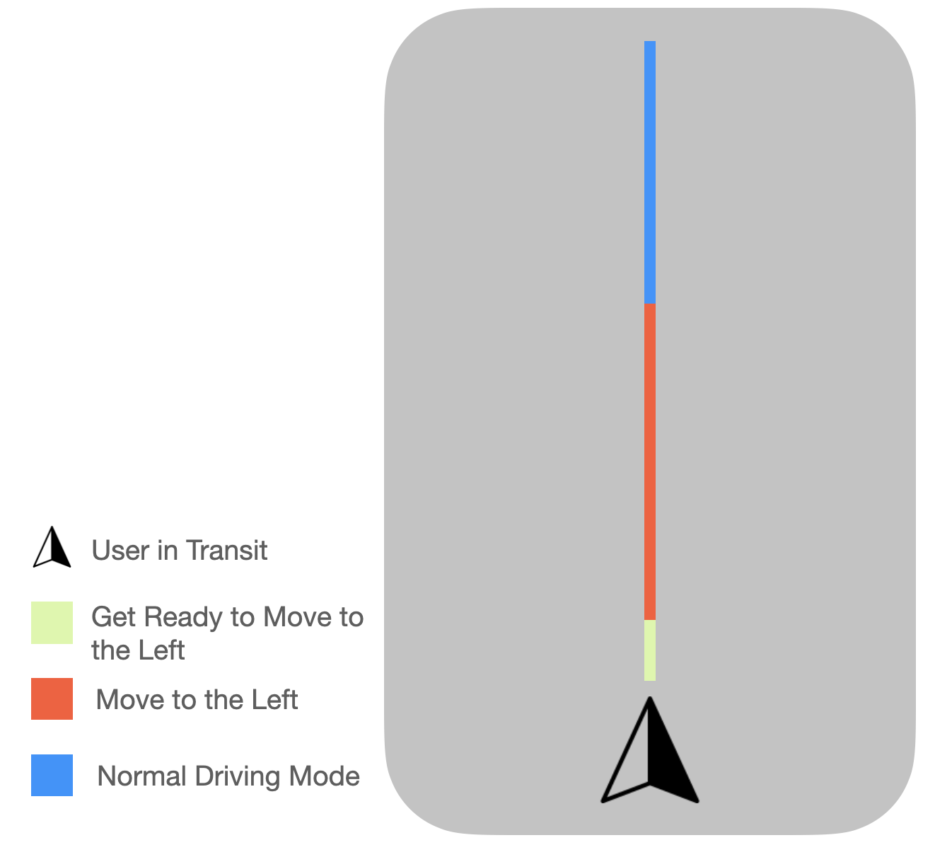
#5 Coloured Polylines
Provide the User in Transit with a series of Coloured Polylines each with a particular meaning to minimise distraction while driving.
30% decrease
in # of deaths ever since travellers have allowed way for ambulances to travel.
3% decrease
in Road Accidents caused by Drivers
